Land Degradation
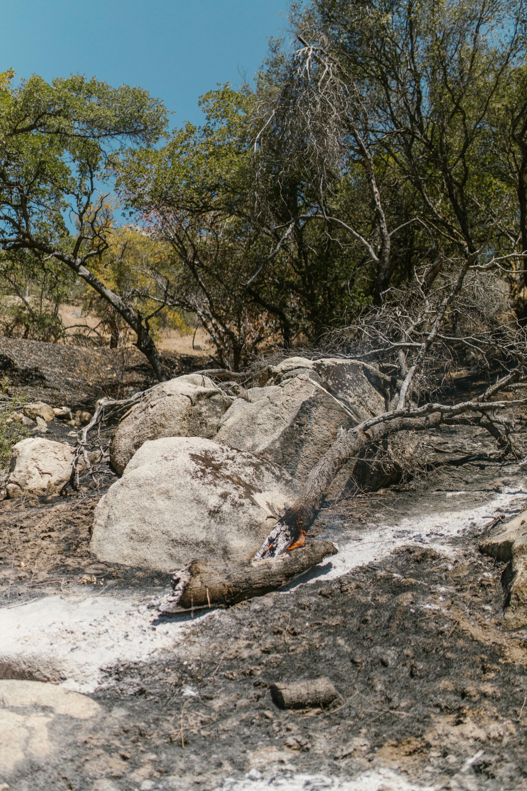
Land degradation is a process in which the value of the biophysical environment is affected by a combination of human induced processes acting upon the land. It is viewed as any change or disturbance to the land perceived to be deleterious or undesirable.
Land degradation is happening at an alarming pace and is affecting regions inhabited by over one-third of the global population. This phenomenon contributes to a dramatic decline in the productivity of croplands and rangelands worldwide, thereby threatening food security and environmental quality.
There are a number of policies and legislation which were drafted with the aim of preserving the land and ecological integrity in St. Kitts and Nevis. The National Conservation and Environmental Protection Act 1987 (NCEPA), is one of those legislative instruments and is the guiding piece of legislation which is utilized by the Department of Environment. The very mandate of the Department is heavily influenced by the NCEPA.
Frequently-Asked Questions
Funds Raised
0k
Trust Score 4.7 (Based on 1,200 reviews)
What is it?
Sand mining can be defined as the extraction of sand, mainly through an open pit but sometimes mined from beaches and inland dunes or dredged from ocean and river beds.
The sand derived from the mining is used for construction purposes, such as the manufacturing of concrete blocks and the plastering process.
While sand mining may be beneficial to the construction industry it is considered the inverse for the environment. In some instances when sand mining takes place, significant quantities of top soil are removed from an area in order to get access to the sand. This action severely compromises the soil profile and its integrity, causing large scale soil erosion.
What we do?
The Department of Environment is responsible for the selection of suitable sites for the purpose of mining sand. These sites are carefully selected based off of a variety of factors, such as: location, accessibility, type of material, topography and proximity of the sites to nearby communities or residential areas.
A ghaut can be defined as a ravine or natural channel connecting the sea to the watershed.
Ghauts are of paramount importance because of their ability to mitigate or minimize flooding by providing a channel for storm water to be transported to the sea in the event of a tropical system or hurricane.
According to part VII, section 37, subsection 1 of the National Conservation and Environmental Protection Act (NCEPA), “All ghauts in Saint Christopher and Nevis are hereby declared to be an area of special concern to be managed in the public interest in stable and productive natural drainages.”
The Department of Environment is responsible for conducting regular ghaut monitoring and assessments to ensure that the ghauts are being kept free of garbage associated with illegal dumping.


